China’s Proposed Super Hydropower Dam on Brahmaputra River is a Mega Concern for India
V. Venkateswara Rao | 13 December 2022
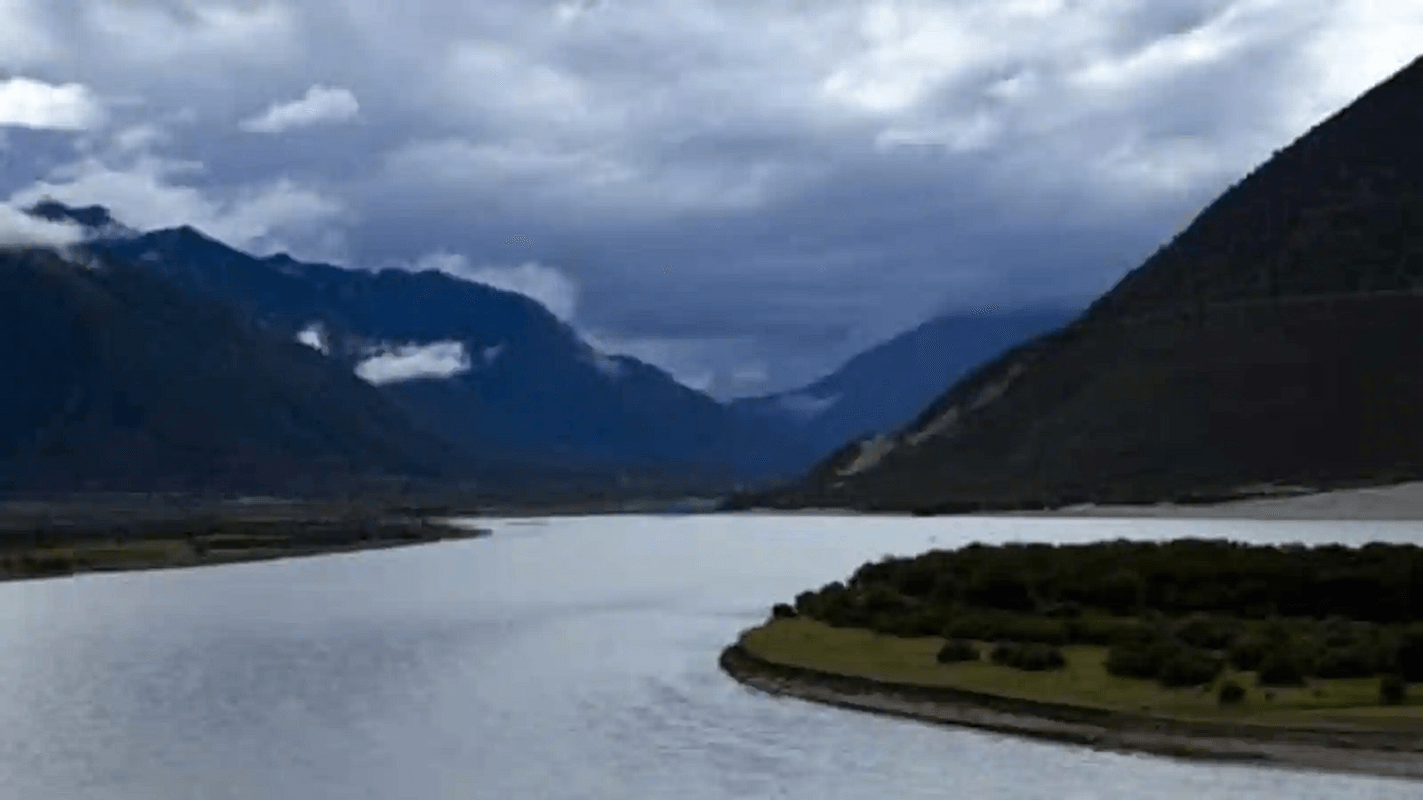
In November 2020, China’s state-owned media shared plans to build a huge 60-gigawatt “super hydropower dam” on a section of the Brahmaputra River (Yarlung Tsangpo river) in the Tibetan Autonomous Region (TAR) of China, in the foothills of the Himalayas. This planned mega-dam could produce as much as three times the hydroelectric power being produced at China’s current largest dam, the Three Gorges Dam on the Yangtze River near Yichang in central China’s Hubei Province. Though the dam plans are part of China’s bid to achieve carbon neutrality by 2060, experts and environmentalists worry about the impact on the mighty river.
The Yarlung Tsangpo, also called Yarlung Zangbo is the upper stream of the Brahmaputra River located in the Tibet Autonomous Region. Originating in the glaciers of western Tibet, the Yarlung Tsangpo reaches heights of nearly 5,000 metres above sea level, making it the highest river in the world, as it makes its way through the Himalayan mountain range. Then the river plunges 2,700 metres at the Yarlung Tsangpo Grand Canyon.
The Yarlung Tsangpo Grand Canyon, also known as the Yarlung Zangbo Grand Canyon, the Brahmaputra Canyon or the Tsangpo Gorge is the deepest canyon in the world, and at 504.6 kilometres is slightly longer than the Grand Canyon in the United States, also making it one of the world’s largest canyons. The precipitous fall makes it particularly conducive for harnessing hydroelectric power, but experts have warned that the dam is likely to have environmental consequences.
And the proposed dam is likely to have geo-political consequences too. After leaving the Tibetan Autonomous Region, the Yarlung Tsangpo flows into Bangladesh and then into the Indian states of Arunachal Pradesh and Assam, where the river is called as the Brahmaputra. The Brahmaputra, a perennial river, is the lifeline for communities living along its banks. They use it for irrigation, fisheries and inland water transport. With the proposed mega-dam sited just 30 kilometres from the Indian border, the dam plan has caused great alarm in India.
Such a huge dam could hold back the massive amount of fertile silty soil being carried by the river. This could adversely affect farming in the downstream areas. China claims that it is building a run-of-the river hydropower project, which do not involve any diversion of the waters of the Brahmaputra River. However, experts feel it could still reduce water flow to downstream areas, especially during the summer season. If China releases water from the dam during monsoons, it could be disastrous for an already flood-prone Assam state.
Sino-India relations over shared water resources remain complex. A more controversial use of the Brahmaputra River lies in the possibility, despite no announced plans, that China may seek to divert the river waters to meet its domestic needs.
The Brahmaputra River accounts for nearly 30 percent of India’s freshwater resources. One of the biggest points of India’s concern is China’s water-diversion projects on the Brahmaputra’s upper reaches, affecting the river’s flow and course. Indian experts worry not only about the Chinese likely water diversion projects, but also about the safety of Chinese dams. This proposed mega dam would stress Indian water resources and raise the chances of growing distrust between the two nations.
The historical territorial disputes between the two countries further complicate the water disputes. Arunachal Pradesh is one of the major areas of territorial dispute along the Sino-Indian border. The other is the Aksai Chin, which has effectively been controlled by China since 1951.
At present, the Brahmaputra River is largely undeveloped as it flows through the northeastern Indian state of Arunachal Pradesh. India has announced plans to build dams in that section of the river to control flooding and to increase electricity production. This also appears to be a step forward in stregthening India’s integration of Arunachal Pradesh.
As the upper riparian super-power, China wields significant advantage over India. It withheld the hydrological data from India during the Doklam standoff despite an existing hydrological datasharing agreement between them. The withholding of information simply increases India’s mistrust of China.
The water dispute between India and China is further complicated by the fact that institutionalized cooperation between the two countries is low, consisting of only an expert-level body on hydrological data-sharing. There is no water-sharing agreement or a joint river commission.
Even though many experts think that China’s water ambitions and the growing competition over water resources between India and China may lead to “water wars” between the two nations — their fear might just turn out to be an over-hyped concern.
V. Venkateswara Rao is an alumnus of IIM, Ahmedabad and a retired senior corporate professional.
This article was originally published on The Geopolitics.
Views in this article are author’s own and do not necessarily reflect CGS policy.
